«Home
«HomeWINTERBOURNE
South Gloucestershire
| «Home |
WINTERBOURNE
South Gloucestershire
|
|
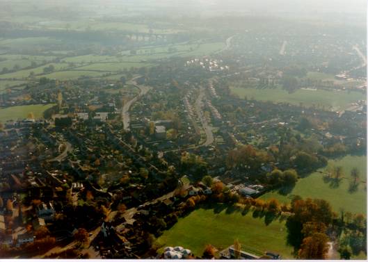
Photographs of Winterbourne from the air
These photographs were taken from a hot-air balloon in the early 1990s. It's worth comparing these with the latest satellite images from Google Earth.
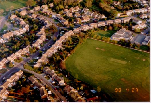
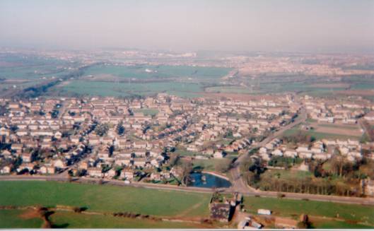
Friary Grange Park, Burrough Way, Recreation field and St Michael's School
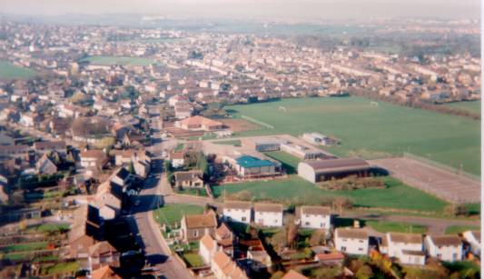
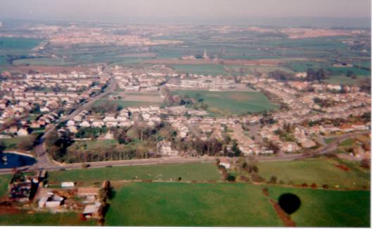
The Community Association Centre (looking south), Watleys End Road, York Gardens, Ebenezer Chapel
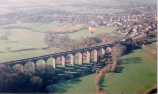
The Viaduct looking south
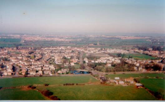
The Fishpond looking West
The Fishpond looking West
The Mount in Hicks Common Road
The Mount, Friary Grange Park and Cloisters
Frampton Cotterell looking East down Perranpit Lane and Church Road
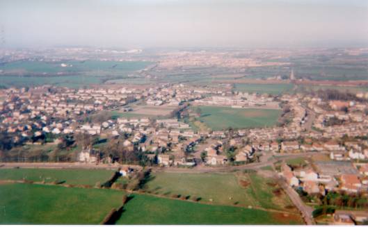
Nicholls Lane and Friary Grange Park looking towards the viaduct.
Silverhill School is in the foreground.
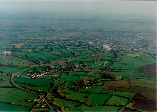
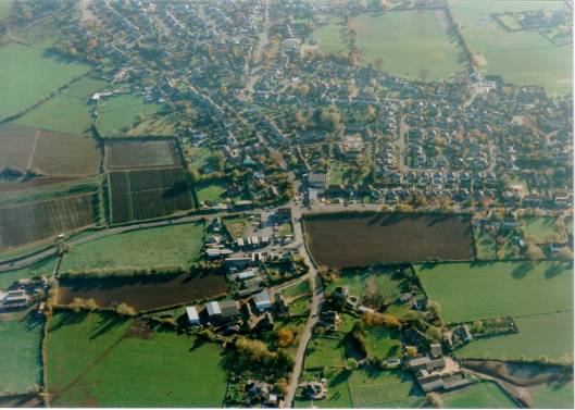
Iron Acton, looking West